Google's New Forest Map Can Tell a Rainforest From a Palm Oil Farm, Pixel by Pixel
ForTy classifies every 10-metre patch of land into six forest types, with a year-by-year record from 2017 to 2025.
Key points
- Google DeepMind, Google Research, the World Resources Institute and IIASA released ForTy 2020 on 22 October 2026, a global map that sorts every 10-by-10-metre patch of land into six forest or land-use types.
- The model was trained on roughly 1.7 million labelled sites and picked the right forest type 90% of the time against more than 9,000 expert-reviewed checkpoints.
- A companion time series covers every year from 2017 to 2025, showing not just forest loss but what replaced it: a plantation, a tree-crop farm, or other land.
- The dataset is free on Google Earth Engine and is pitched as a baseline for the EU's deforestation regulation, which bans products from land that was forest in 2020 and has since been cleared.
- The underlying research is published in Scientific Data at nature.com.
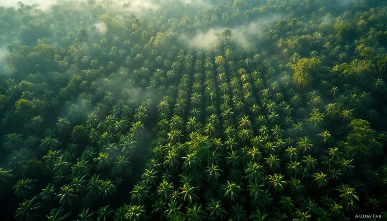
From a satellite, an old-growth rainforest and an oil palm estate look like the same green smudge. They're not the same thing for the carbon budget or for wildlife. That gap is what Google is trying to close.
On 22 October, Google DeepMind and Google Research, with the World Resources Institute and the International Institute for Applied Systems Analysis, published Forest Typology 2020, or ForTy, a worldwide map that labels every 10-by-10-metre square of land as one of six things: primary forest, naturally regenerating forest, planted forest, plantation forest, tree crops like oil palm or cocoa, or other land. Alongside it sits an early time series tracking those labels year by year from 2017 to 2025. For the first time, anyone with a browser can look at a patch of Borneo in 2019, then again in 2023, and see whether rainforest became a palm plantation.
Why does the forest type matter so much?
Tree cover alone is a terrible proxy for what a forest actually does. A primary forest stores far more carbon and shelters far more species than a eucalyptus plantation harvested every ten years. Both look green from orbit.
The EU's regulation on deforestation-free products leans on exactly this distinction. Coffee, cocoa, palm oil and wood products sold into the bloc can't come from land that was forest in 2020 and has since been converted. A map that says only "trees: yes/no" can't answer that question. ForTy can. The six categories follow UN Food and Agriculture Organization definitions, so regulators aren't inventing new vocabulary.
How accurate is it, really?
The team validated ForTy against more than 9,000 random sites where two trained experts studied high-resolution imagery and years of satellite records. It picked the right forest type 90% of the time and separated forest from non-forest 95% of the time, which the authors say beats other global forest maps.
Rather than staring at a single photo, the model feeds on AlphaEarth Foundations embeddings, compact summaries of years of satellite observations for each pixel, so it can read planting patterns, growth cycles and harvest rhythms. Users also get a probability score for each class, not a flat yes-or-no. A commodity buyer worried about EU fines can set a strict threshold; a researcher mapping total forest extent can keep the fuzzy edges.
What has changed since last year's map?
In 2025 the same partners released Natural Forests of the World 2020, which drew one line: natural forest, or not. ForTy draws five more and adds the time dimension. When a natural forest is logged and replanted as a plantation, the land looks green again within a season, and standard tree-cover maps miss it entirely. ForTy's time series makes those hidden swaps visible.
This work fits the pattern Yossi Matias, who leads Google Research, described in our 15 October story on the Antigravity science workbench: AI doing the most durable work not inside a single field but at the border between computation and an older discipline that desperately needs it. ForTy is the environmental version of that idea.
My read: the 90% accuracy figure is impressive, but it's not the number that counts. The real question is whether EU auditors and commodity buyers trust an open Google dataset enough to let it drive enforcement decisions worth billions. If they do, the plantation-pretending-to-be-forest trick gets a lot harder to pull off.