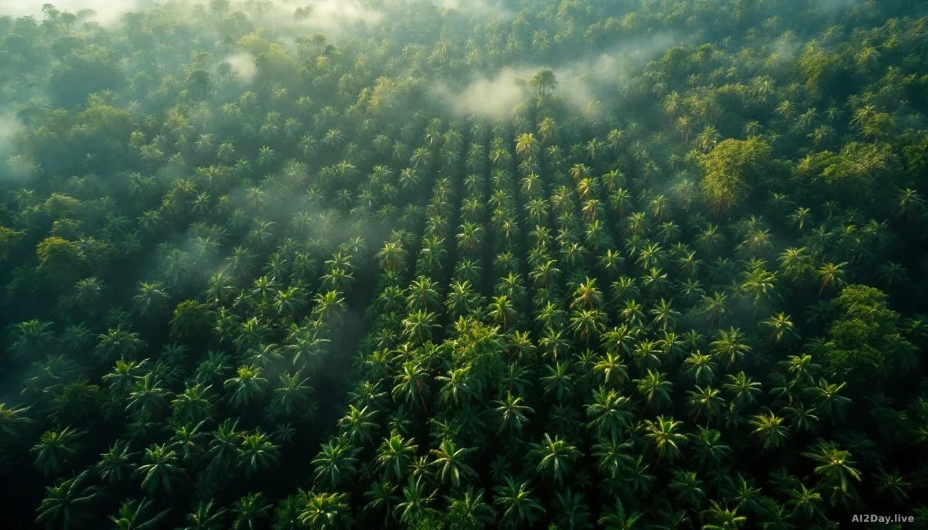
1 story taggedsatellite mapping.
ForTy classifies every 10-metre patch of land into six forest types, with a year-by-year record from 2017 to 2025.