Satellites and AI are watching Earth around the clock. Here's what that means for all of us.
A new report warns that better satellite cameras plus artificial intelligence bring real benefits for disaster response and security, but also fresh risks around privacy and fake imagery.

Key points
- The OECD, an economic research group based in Paris, published a report in 2025 warning that advances in satellite cameras and AI raise new privacy and national-security concerns.
- The same satellite that tracks illegal fishing boats can, by design, also spot military troop movements, a problem the report calls the "dual-use" dilemma.
- Space42, a UAE-based company, operates a constellation of SAR satellites, a type of radar satellite that can see through clouds, dust and total darkness.
- AI now sorts satellite imagery in minutes rather than days, giving emergency teams "decision-grade intelligence" fast enough to respond to floods and maritime incidents.
- Fake or deliberately misrepresented satellite images are a growing part of online disinformation, and the OECD warns they can erode trust in genuine data.
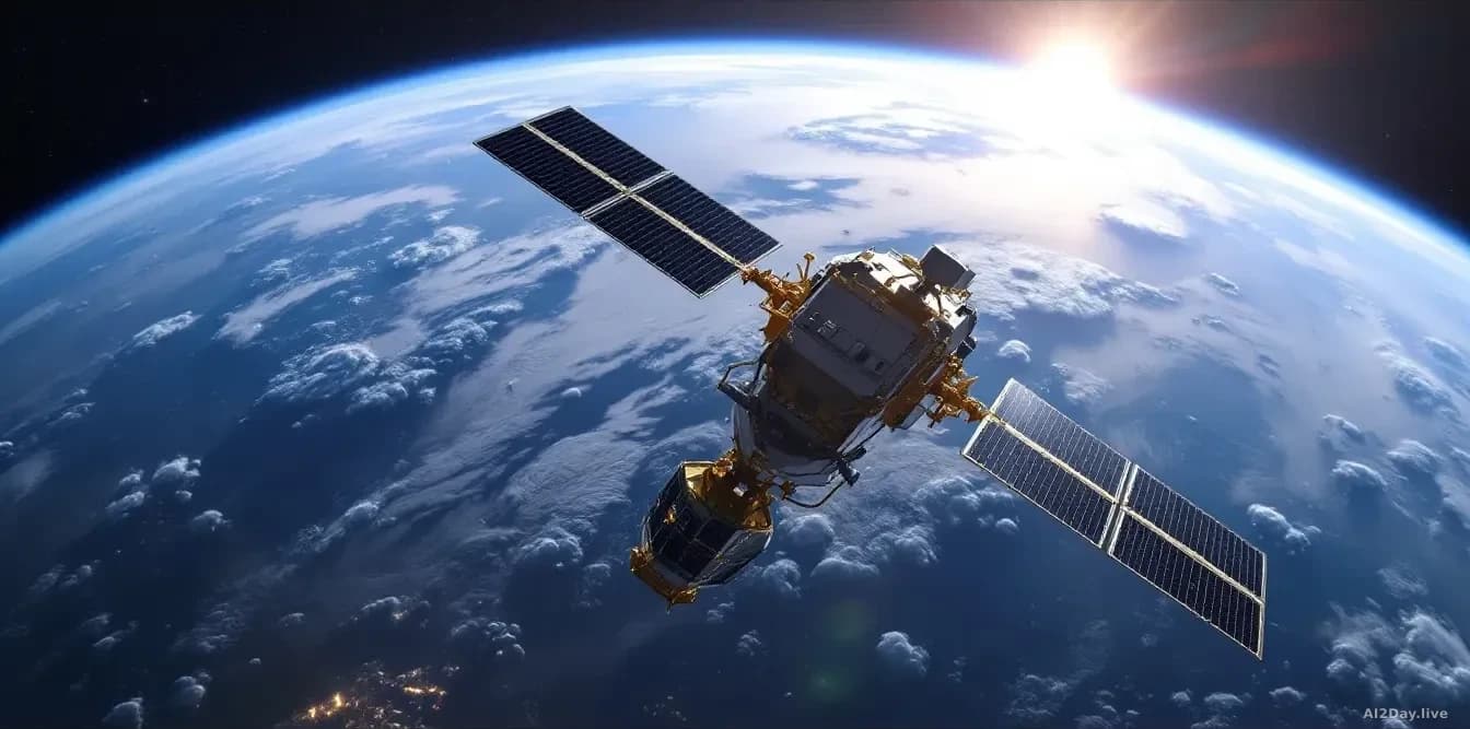
Right now, several hundred commercial satellites are circling the planet, photographing every coastline, city and conflict zone. Most of us never think about that. Perhaps we should.
A new report from the OECD (the Organisation for Economic Co-operation and Development, a Paris-based group of 38 wealthy nations that researches global policy) lays out exactly what is happening as satellite Earth-observation technology grows sharper and cheaper. The short version: the benefits are real and the risks are too.
So what can these satellites actually see?
Quite a lot. Modern Earth-observation satellites split into two broad families. Optical satellites work like a very high camera, capturing visible light. SAR satellites, which stands for synthetic aperture radar, bounce radar signals off the ground and work in total darkness, through cloud cover and through sandstorms.
Viktor Stoyanov, chief operating officer of Space42, a UAE space-technology company, told Space.com that SAR has transformed the field. "SAR satellites image through cloud, dust and darkness, which matters enormously for our region and for any customer who needs consistency regardless of timing and weather," he said. Space42 runs the Foresight constellation of SAR satellites, built with Finnish firm ICEYE and assembled partly in Abu Dhabi.
A single constellation generates far more raw imagery than human analysts could ever review before a crisis has passed. That is where AI steps in.
What does AI actually do with all those images?
It acts as a tireless first-pass analyst. Stoyanov described three reasons AI is now essential: volume, speed and accuracy. A flood-response team or a navy tracking an unknown vessel cannot wait a week for a written report. They need an answer in minutes.
AI algorithms compare each new satellite pass against a stored historical baseline of that same location. Subtle changes that a tired human eye might miss, a new vehicle parked in a field, a change in ship traffic, a shift in a river's edge, get flagged automatically.
Francis Doumet, CEO of Metaspectral, a Vancouver company building AI tools for a more advanced type of imaging called hyperspectral sensing (which reads dozens of light wavelengths at once, revealing crop health, mineral deposits or pollution invisible to a normal camera), described a model where governments share intelligence requirements and commercial operators supply imagery at a pace "that would be difficult or impossible for a single nation to produce alone."
Should ordinary people be worried?
There are two distinct concerns worth knowing about.
First, privacy. These satellites can photograph private property, vehicles and gatherings from orbit without anyone on the ground knowing. The OECD report flags this directly, noting that the line between legitimate security monitoring and surveillance of civilians is blurring as resolution improves.
Second, and perhaps more immediately relevant for anyone reading the news, fake satellite images. The OECD warns that trust in satellite data "can be eroded by fake, misinterpreted or intentionally misrepresented imagery." A doctored satellite photo shared on social media can spread faster than any correction. When you see a satellite image used as evidence in a news story or a political argument, it is worth asking who captured it and who verified it.
Neither concern has a simple fix yet. The OECD report is, at this stage, a call to take the problem seriously before the technology outpaces the rules designed to govern it.
Common questions
Can a commercial satellite photograph my house?
Yes. Several commercial providers already sell imagery sharp enough to show individual cars. They operate under national licensing rules that limit the finest resolutions available to the public, but those rules vary by country and are tightening slowly.
How do I spot a fake satellite image?
Look for the source. Images from verified providers like NASA, the European Space Agency or licensed commercial operators come with metadata and acquisition timestamps. An image circulating on social media with no provenance should be treated with scepticism, especially if it is being used to support a contested claim.