Fifty Eyes in the Sky: How AI Satellites Are Catching Wildfires Before They Spread
A new network of space-based sensors, paired with AI, aims to spot a wildfire while it is still small enough to stamp out. The first three satellites launched in July. Forty-seven more are planned.

Key points
- Three FireSat satellites launched aboard a SpaceX rocket in July 2024, marking the start of a planned 50-satellite wildfire-detection network.
- The network is designed exclusively to find wildfires while they are still small, cutting the gap between ignition and alert.
- Fires in Spokane, Washington, this summer showed again that early detection is often the difference between a contained blaze and a catastrophe.
- AI analyses the images from orbit to flag heat signatures faster than human operators could scanning footage alone.
Timing is everything with a wildfire. Catch it in the first few minutes and a crew can often smother it before it grows. Miss that window, and a single spark in dry grass becomes a disaster measured in thousands of acres.
The fires in Spokane, Washington, this summer made that point again, the hard way.
So what is actually changing?
A new satellite network called FireSat is designed to close that detection gap. In July, a SpaceX rocket carried the first three FireSat satellites into orbit, the opening move in a plan to place 50 dedicated wildfire-spotting satellites around the Earth.
Those 50 birds, once complete, will watch the same patches of ground far more often than today's general-purpose weather and imaging satellites. More passes over the same forest means a fire gets spotted sooner, while it is still a campfire-sized problem rather than a county-wide emergency.
On the ground, AI does the hard sorting work. Each satellite streams imagery continuously. Artificial intelligence, software trained to recognise the heat signatures and smoke patterns of a young fire, scans that footage automatically, flagging anything suspicious for firefighters faster than a human analyst could.
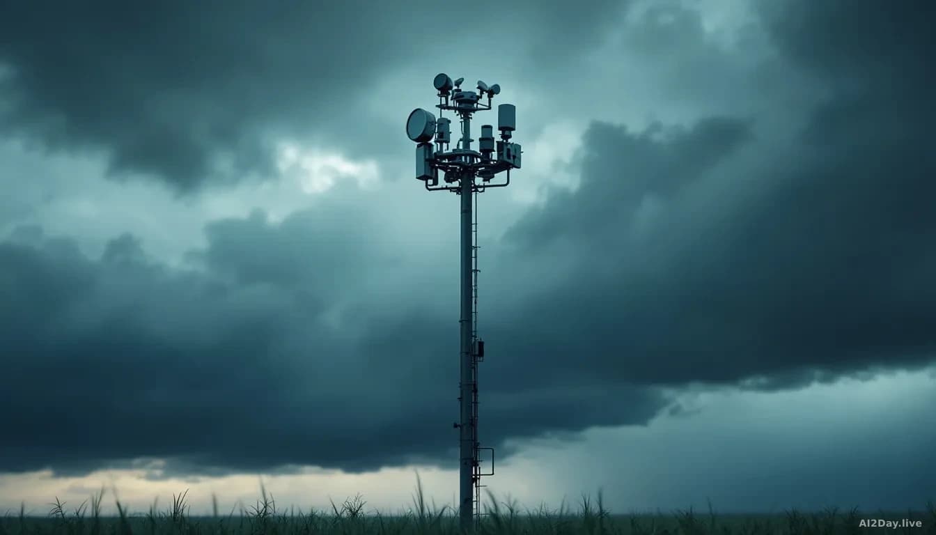
High-resolution cameras on the ground fill the gaps between orbital passes, giving local crews a second pair of eyes in areas where terrain or tree cover can hide a small blaze from space.
What does this mean for people living near wildfire zones?
Faster alerts reach fire crews sooner. That sounds simple, but the practical effect is real: a blaze found in minutes rather than hours is far cheaper to fight and far less likely to force evacuations.
The FireSat network does not replace firefighters or prevent fires from starting. What it does is shorten the period when a fire can grow undetected, which is often when the most damage is done.
For communities in fire-prone regions, the honest message is that this technology adds a layer of early warning. It is not a guarantee, but a faster alarm is always better than a slow one.
What happens next?
The three satellites now in orbit are the proof-of-concept phase. The full 50-satellite network will take time and money to build. As first reported by The Guardian, the ambition is a system built solely for wildfire work, not a general-purpose constellation that happens to notice fires as a side effect.
Whether the remaining 47 satellites arrive on schedule will depend on funding and launch capacity. But the direction is clear: more coverage, faster alerts, and AI doing the pattern-recognition work that no team of human analysts could manage at scale.